Nature Data
Management
Bring all of your nature, asset and project data to life. Bridge the gap between global databases, often at lower resolution, and more detailed observation and action at the local level.
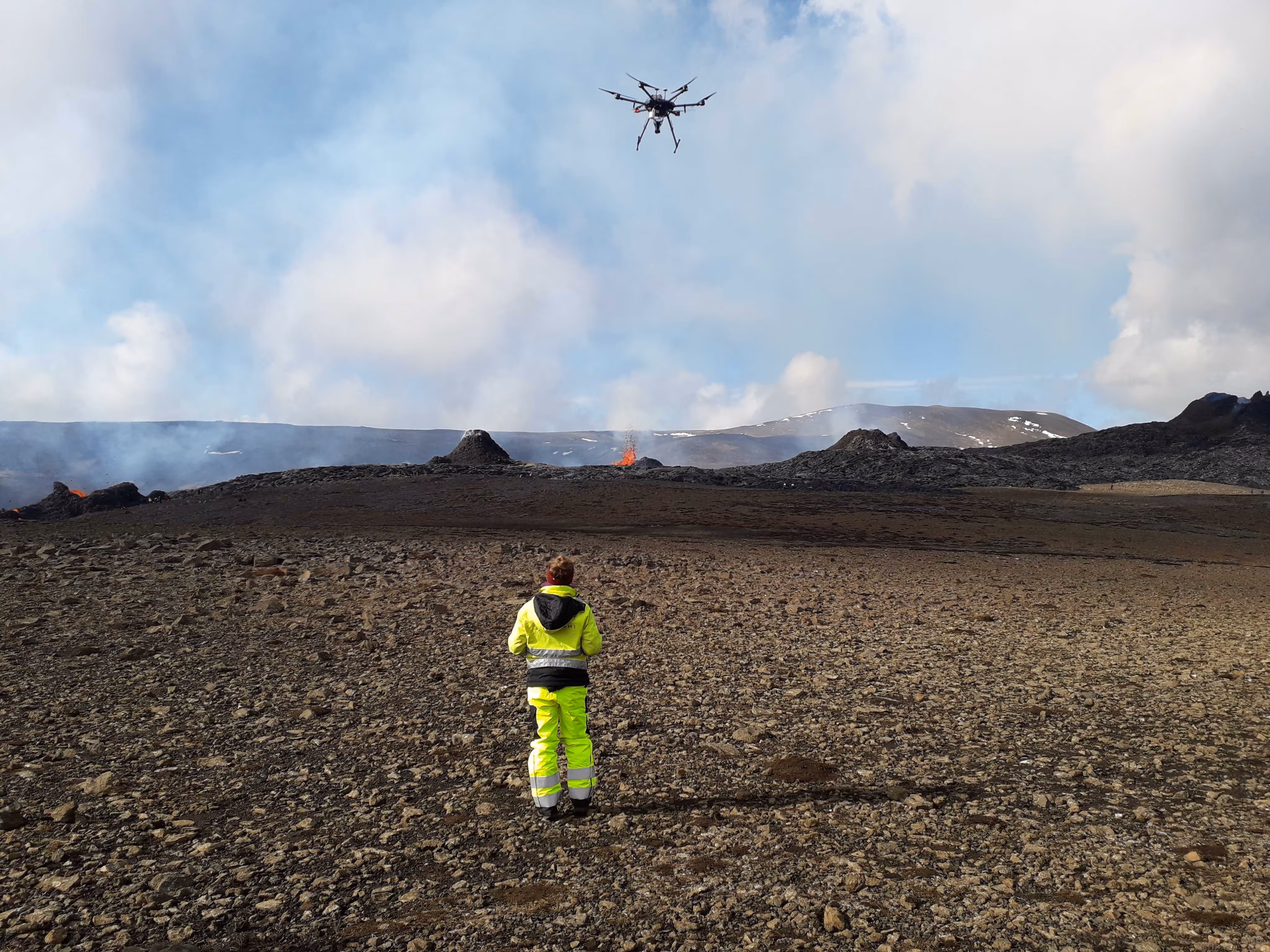
Data
Collection
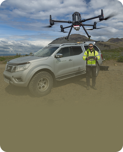
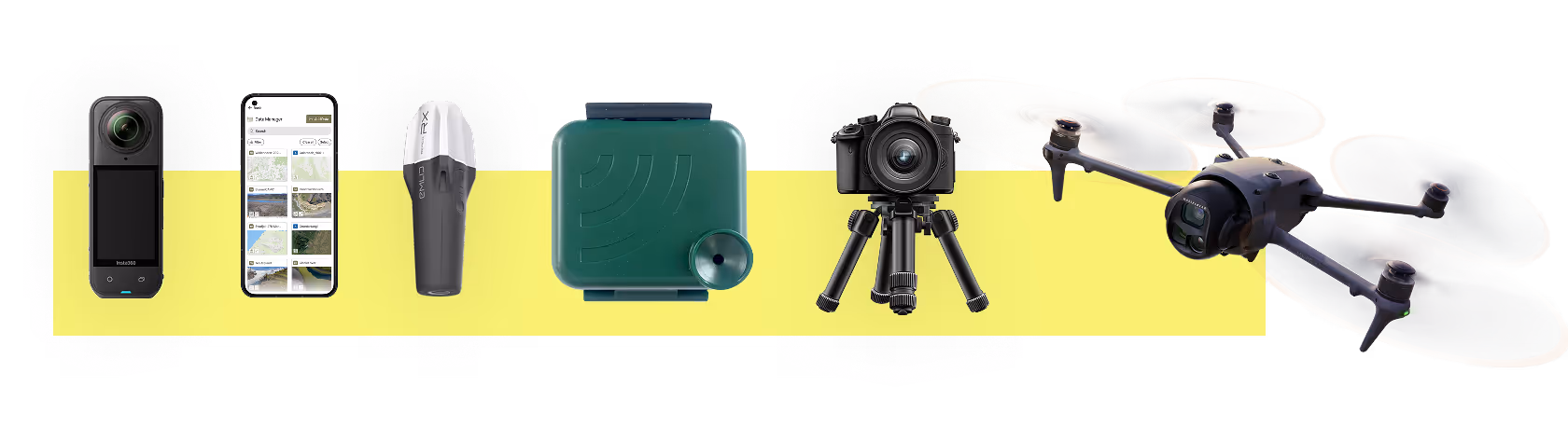
Empowering your data acquisition journey – from assisting you to operate drones and satellites independently to fully managing data collection for you. Tailored solutions for precise and efficient results
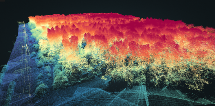
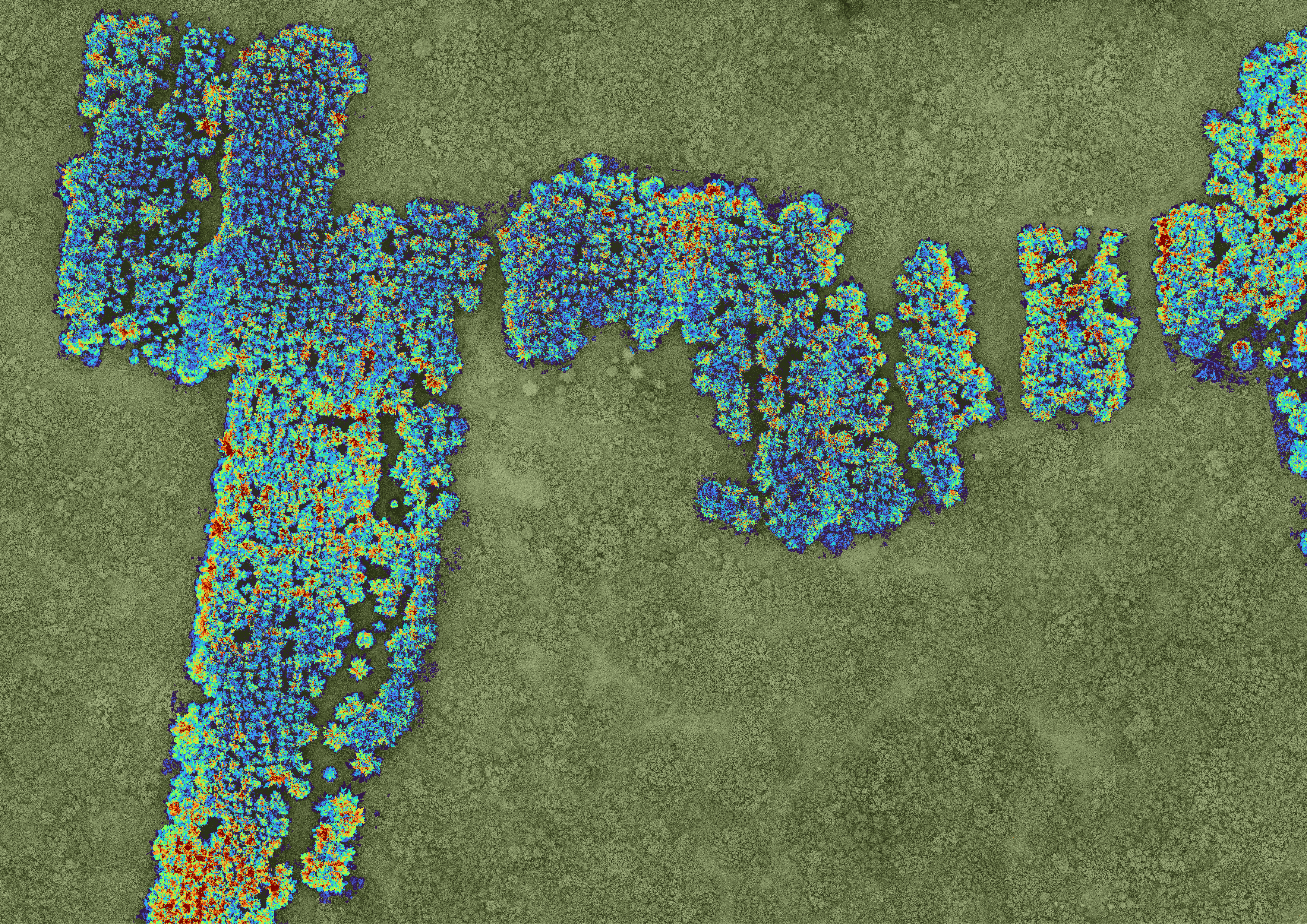
Geospatial
Analysis
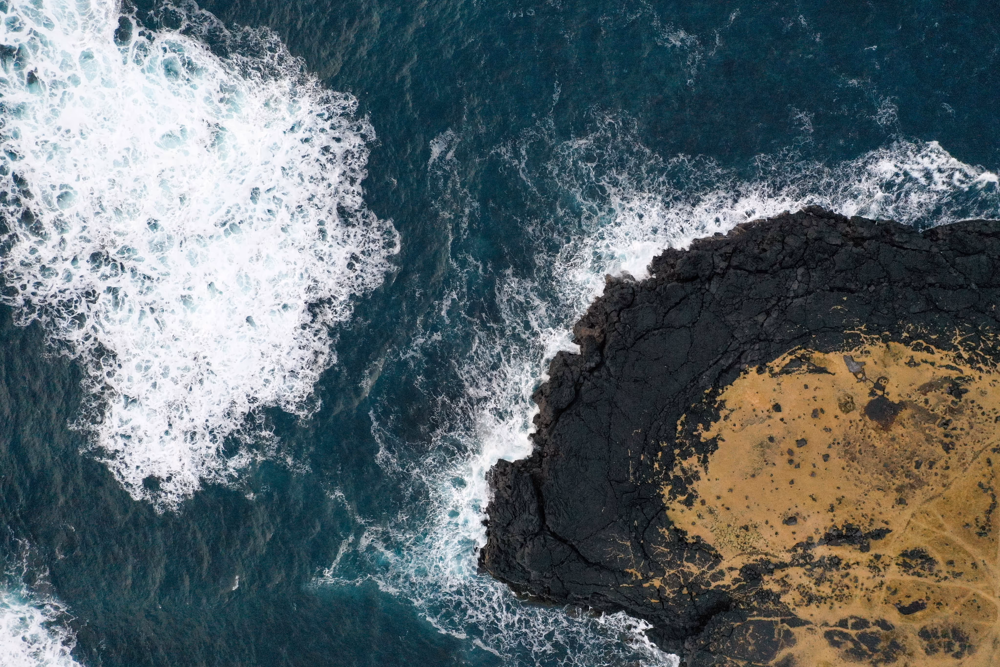
Transforming complex geospatial data into actionable insights. Harness the power of AI, including machine learning, to analyze, predict, and visualize like never before

Other
Services
Whether we retrieve your data on-site or you upload it securely to the DATACT cloud, we ensure a smooth and efficient migration process tailored to your needs

Case Studies
Eberhard Unternehmungen: Digital twin of forest for sustainable planning
Yggdrasill Carbon: Nature Monitoring in East Iceland
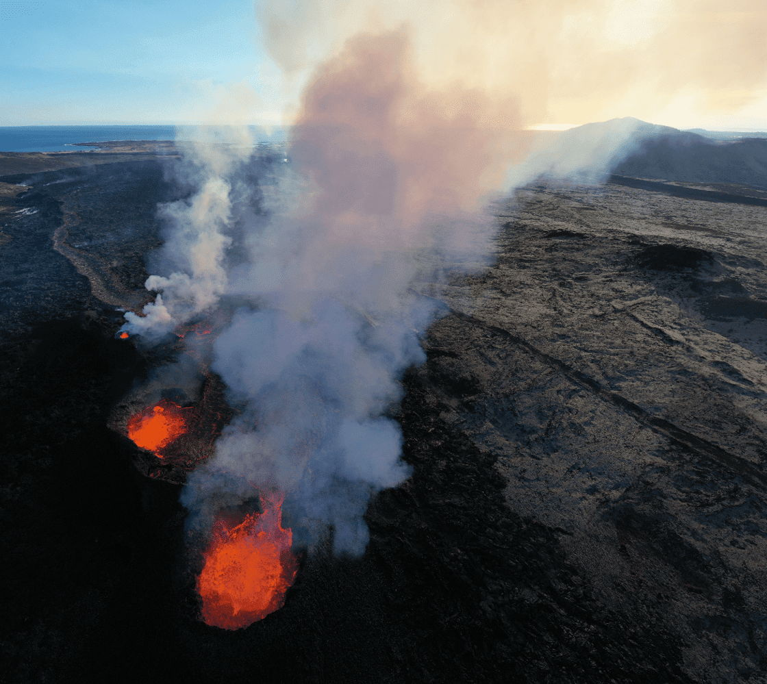
Verkís: Grindavík Defense Structure Mapping & Volcano Monitoring

Nature &
Data Housekeeping
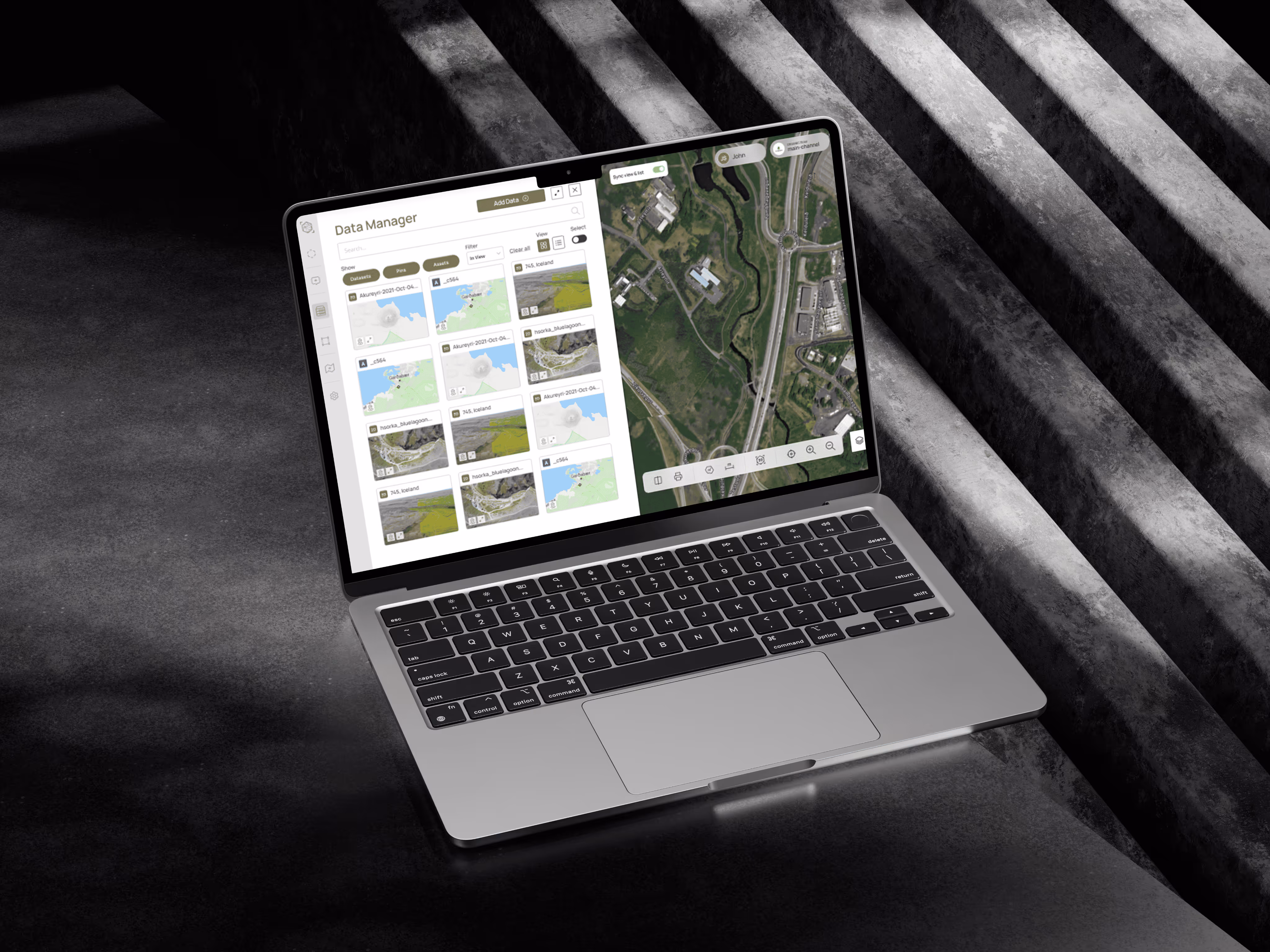
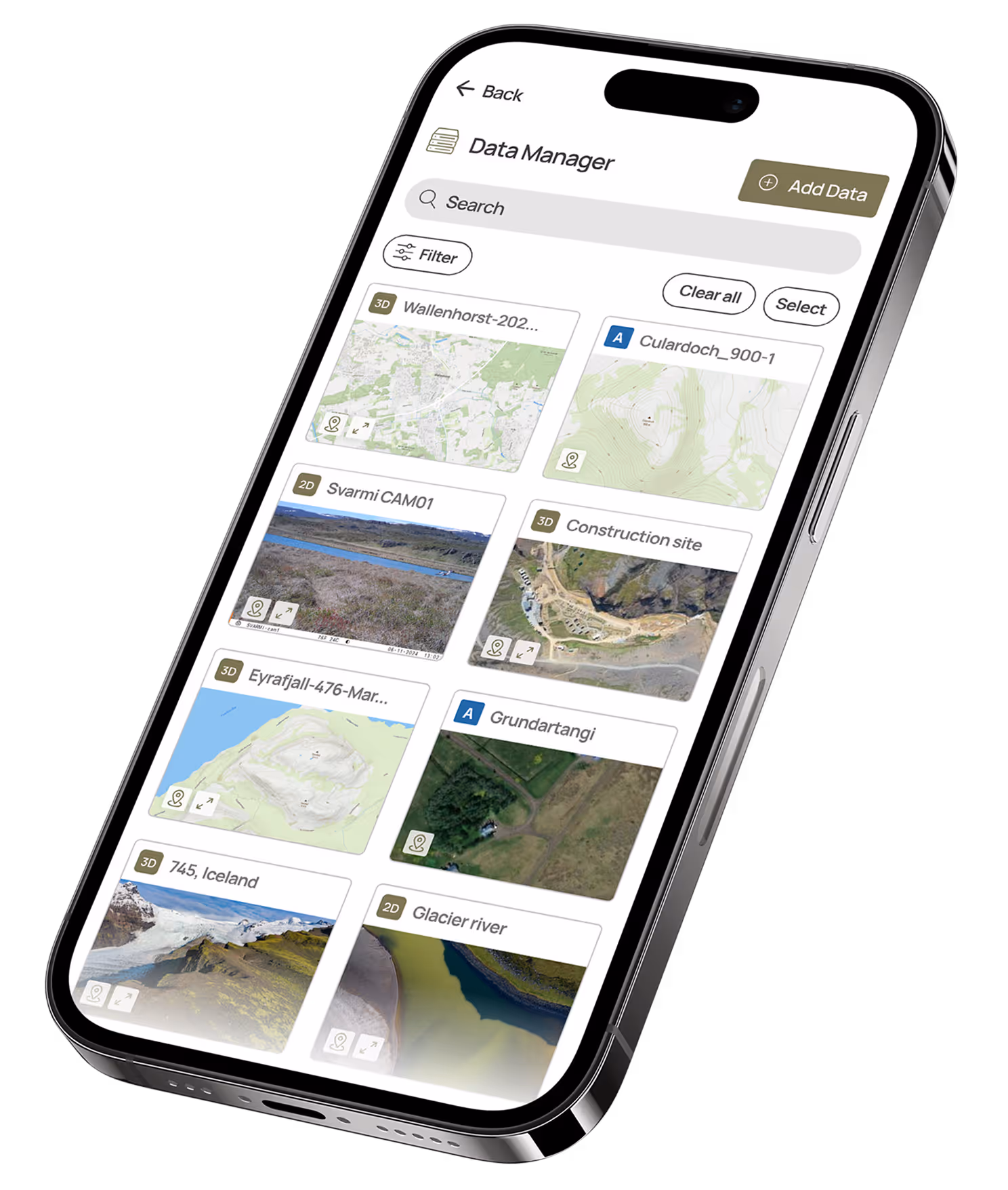
NATURE DATA MANAGEMENT

We built
DATACT
data control
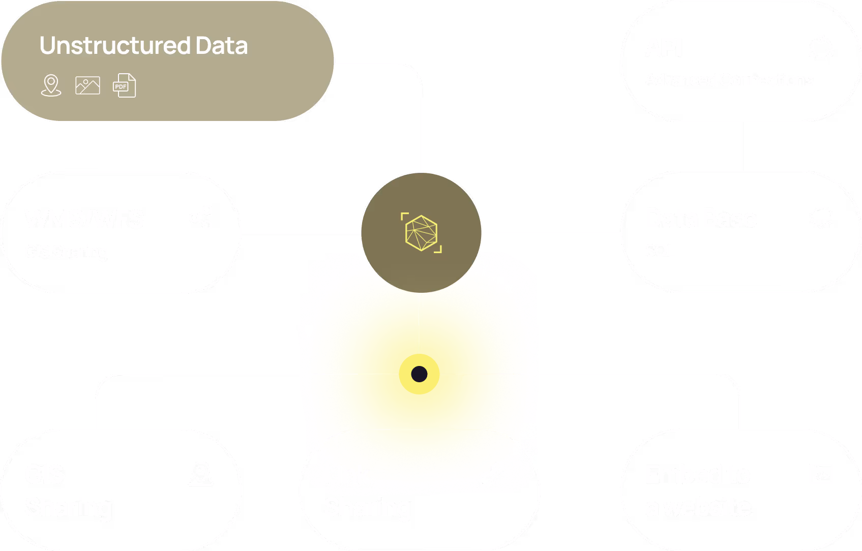
Control
your data
data solution
Manage your assets and their impact
Advanced sharing and management
Photogrammetry engine
Access to Satellite data
Photos & field data on the map
Asset & location-based dashboards

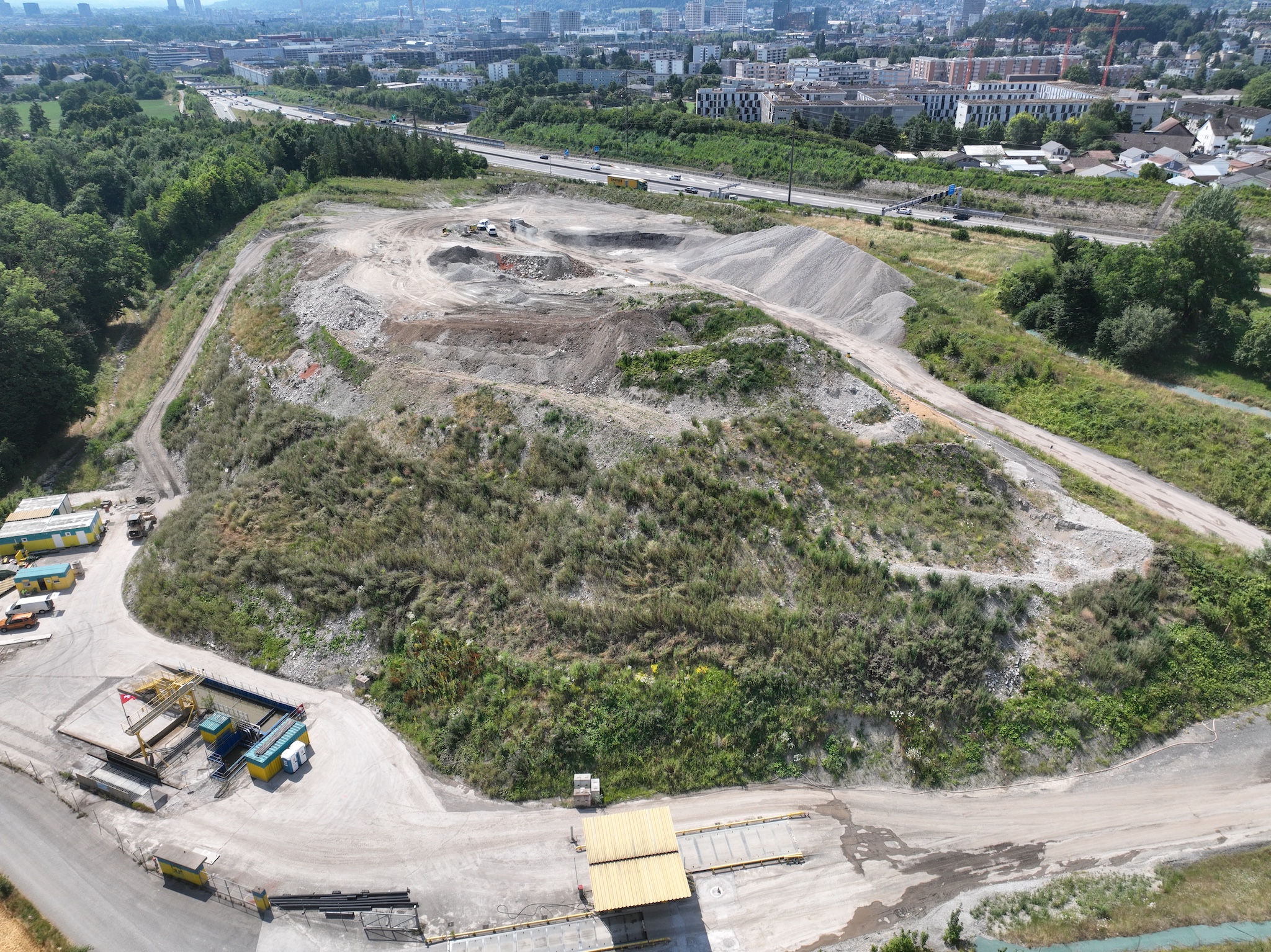
Transform Your Drone Photos into Stunning Maps and 3D Models
Smart Data Collection

Our Services
HOW WE CAN HELP YOU
Complete Data
Collection Support
Nature & Geospatial
Analytics
Get started
with Svarmi
Partner with us to unlock smarter solutions, drive innovation, and scale with confidence. Let’s transform your business with the power of technology, starting today.

Trusted since 2013
Built on experience
Driven by data

Blog
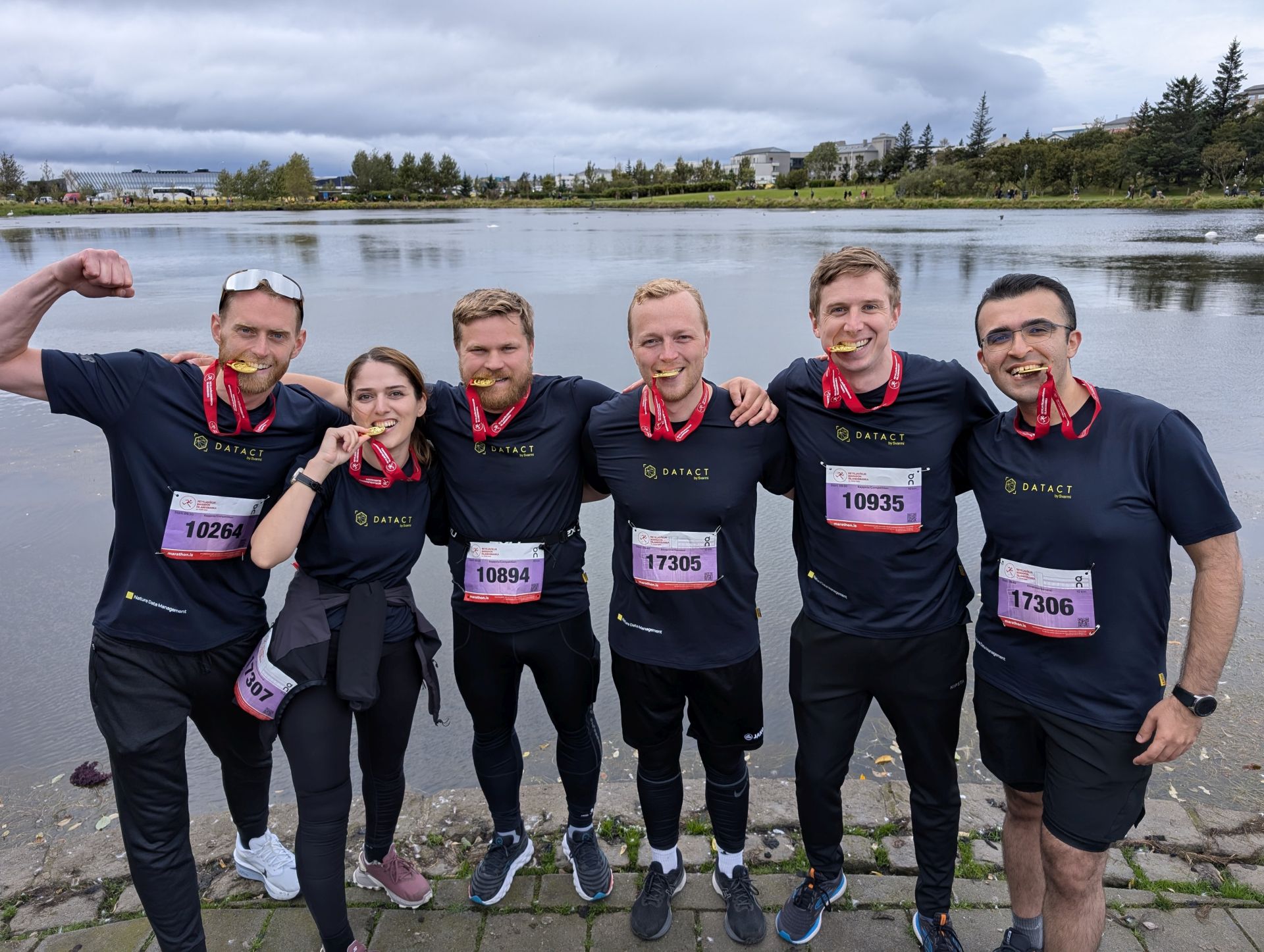
Svarmi Completes 10k Run for Breið Bros Charity

Bringing Peatlands Back to Life: A Climate Project at Lækur Farm in W-Iceland

